What a county saw in a glamping CUP record
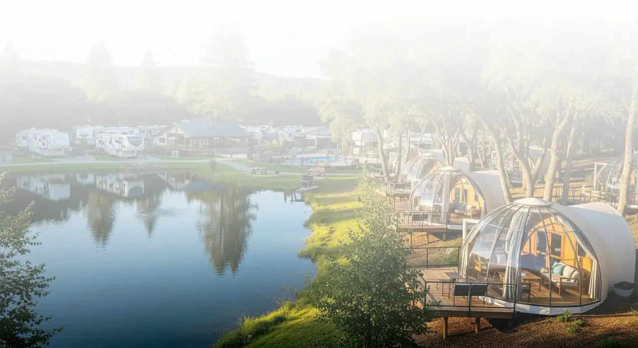
The San Bernardino County record for a conditional use permit in Joshua Tree, California, heard in March 2026, shows what a glamping hearing looks at. The project was a 4-site geodome campground on 2.39 acres. The record carried three photoreal renderings, of the entry and of the geodome units, alongside a site plan [1]. The conditions covered quiet hours, no events, downward lighting with a photometric study, septic approval, fire access with a hydrant within 300 ft, and a 50 ft buffer around Joshua trees. No public comments were received [1].
Sort those conditions by what a view can show. Downward lighting belongs to the night view. Fire access, the hydrant and the Joshua tree buffer belong to the site plan rendering, where a reviewer can measure them. Quiet hours and a ban on events are operating rules, and septic approval is engineering: no image answers them. One record is not a rule, but it marks out the questions a glamping rendering set has to answer, and the ones it should leave to other documents.
The glamping view set
| View | What it answers | What it must show |
|---|---|---|
| Entry view | Arrival, signage and parking, the first thing neighbors and the board picture | The gate, the parking area and the walk to the units as the plan draws them |
| Unit exterior, one per type (dome, tent, cabin) | What a guest stays in, and what the reviewing body is classifying | The deck and private area, the unit height, and plumbing only where the plan classifies the unit for it |
| Dusk and night views | Light pollution after dark | Downward fixtures in the positions the lighting plan and its photometric study set [1] |
| Site plan rendering with fire access | Planning staff and the fire district | The access route, turnaround and hydrant location from the plan, and protected trees with their buffers |
| Amenity views | The bathhouse, lodge, sauna or deck | Common buildings where the plan locates them |
The unit and entry views carry the most weight with a board, and the night view answers the lighting question. A dusk image with every deck lit like a storefront invites the objection. A night view that shows downward fixtures at the positions the photometric study fixes answers it.

Each unit drawn as the plan classifies it
No state licenses glamping as such. Each unit is treated as a camping unit, a lodging room or a building, according to its plumbing, its foundation and its size, and the full classification rules are on the glamping site plan page. Michigan EGLE, for example, treats yurts, tipis and glamping units as camping cabins only without interior water [2]. That classification decides the bathhouse, the spacing and the approval path drawn on the plan.
The rendering has to agree with it. A unit view that shows an ensuite bathroom, a permanent footing or a second story on a unit the plan presents as a relocatable camping cabin tells the board something the application does not claim. Height matters the same way: Adirondack Park Agency Permit 2023-0042, for 23 glamping tents, set a 15 ft maximum height for the tent platforms and a tiny home [3]. A dome, a safari tent and a cabin each get their own view, drawn at the dimensions in the site data table.
The approval path the set supports
The recurring path for glamping is a conditional use permit in an agricultural, forest or rural zone, and the hearing turns on intensity. In Clallam County, Washington, staff found that "recreational cabins are not defined as a use" and so require a CUP (CCC 33.05.010). The hearing examiner approved glamping studio cabins phased over six years, calling the project a "relatively low intensity use on a 29.46-acre forested parcel" [4]. Low intensity is something a rendering set can show or undercut: unit spacing, retained trees, the scale of each unit against the forest, the size of the parking area.
Utah shows the other path, a dedicated glamping ordinance. Garfield County Ordinance 2019-2 and Tropic Town Ordinance 2020-3 define glamping units and glampgrounds, cap density at 10 and 5 units per acre, and require planning commission review of street, sanitary and unit layout [5, 6]. Where a commission reviews unit layout, the site plan rendering is the exhibit that makes the layout legible. The state detail is on glamping site plans in Utah and glamping site plans in North Carolina.
Accuracy in a landscape setting
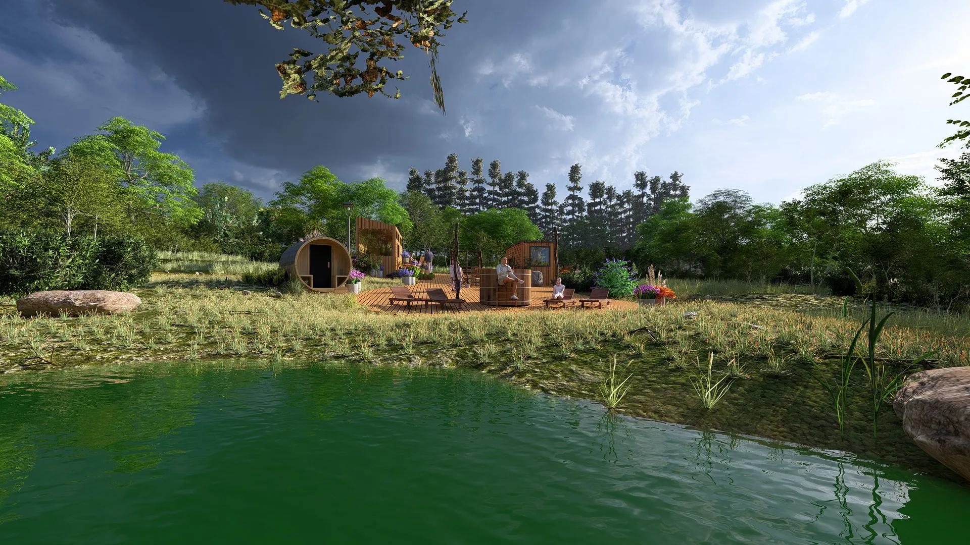
Where a county reviews a scenic site for visual impact, the standard for images rises. Sonoma County's Visual Assessment Guidelines discourage architectural renderings in visual impact analysis because they tend to soften effects. The county asks for multiple public viewpoints, simulations at completion and at landscape maturity, equal vertical and horizontal scale, and registration to baseline-photo control points with field verification [7]. Santa Barbara sets its photo simulations at eye level, keys each one to a location map, shows landscaping "at no more than 5 years growth" and puts at least one human figure in each perspective [8].
The UK Landscape Institute's Technical Guidance Note 06/19 sets out four types of visualization, from a Type 1 annotated photo through a Type 2 wireline or 3D model and a Type 3 photomontage to a Type 4 survey-verifiable photomontage. Type 4 calls for a tripod, a panoramic head, a full-frame sensor with 50 mm lens and the best available survey data [9]. On a scenic site that a county reviews for visual impact, the stronger exhibit is a verified photomontage with its camera data recorded, not a polished render.
Marketing images face their own rules. California's 10 CCR 2799.1 requires subdivision advertising to show the land accurately as it is and the proposed improvements as they will be built, and requires any depiction that is not a photograph to carry a prominent artist's-conception disclosure [10]. New York's 13 NYCRR 22.6(h) requires an artist's rendering in offering-plan advertising to show the dimensions, height and landscaping of the property accurately and realistically [11]. Both govern regulated subdivision and offering-plan advertising rather than most resort marketing, but they are the plainest written US test of a fair rendering: true dimensions, true heights, honest planting, and a label.
How the set ties to the site plan, and what the engineer adds
Every view is modeled from the preliminary site plan: unit positions and types, decks and paths, the parking area, the bathhouse and common buildings, internal roads, the fire access route and the buffers, with the unit counts from the site data table. Campground layouts that mix glamping units with tent and RV sites follow the same method, set out on campground site plans. The plans are preliminary. Septic and water design, power distribution, grading and drainage, fire flow and the photometric study belong to the client's engineer of record and the project's lighting designer. The renderings show where the hydrant and the fixtures sit on the plan; the sealed set designs them.
The model projects show how county rules shape the plan these views are drawn from: a glamping resort in Buncombe County, North Carolina, a glamping resort in Kane County, Utah and a campground with cabins in Chaffee County, Colorado. For mixed resorts, the RV park and RV resort rendering set covers buffers and pad views, and 3D rendering services covers exterior, aerial and flyover work for other assets. Background reading on the blog: glamping in US RV parks and how to plan RV resort and glamping sites on your land. The process page sets out how a project moves from plan to views.
Frequently asked questions
Which views does a glamping conditional use hearing need?
The entry, one exterior per unit type and the night views. The San Bernardino County record for a geodome campground in Joshua Tree carried three photoreal renderings of the entry and the geodome units, together with a site plan [1].
How should lighting be shown in a glamping rendering?
As the lighting plan specifies it, at dusk and at night. The San Bernardino County conditions required downward lighting backed by a photometric study [1], so the night view shows those fixtures in those positions, not a glow added for mood.
Can a rendering show an ensuite bathroom in a camping cabin?
Not if the plan classifies the unit as a camping cabin. Michigan EGLE treats yurts, tipis and glamping units as camping cabins only without interior water [2]. The unit view has to match the class the plan claims.
How mature should the landscaping look?
Does a glamping rendering need a label?
In regulated subdivision advertising, California requires non-photographic depictions to carry a prominent disclosure such as ARTIST'S CONCEPTION (10 CCR 2799.1) [10]. The same label on every marketing image keeps the set consistent.
What is a verified view?
A photomontage whose camera, lens and survey data are recorded so it can be checked. The Landscape Institute's TGN 06/19 Type 4 calls for a full-frame sensor with 50 mm lens and the best available survey data [9].
Sources
- 1)Agenda Item 2, PROJ-2022-00040, Joshua Tree Campsite (combined hearing record), San Bernardino County Land Use Services. Accessed 2026-10-07.
- 2)Cabins and Park Models in Michigan Campgrounds, Michigan Department of Environment, Great Lakes, and Energy (EGLE). Accessed 2026-10-09.
- 3)Agency Permit 2023-0042 (final permit), Adirondack Park Agency, New York. Accessed 2026-10-09.
- 4)Hearing examiner decision, PCUP2024-00020, Clallam County, Washington. Accessed 2026-10-09.
- 5)Garfield County, Utah Glamping Ordinance No. 2019-2, Garfield County, Utah (Utah Public Notice Website). Accessed 2026-10-09.
- 6)Glamping Ordinance #2020-3, Tropic Town, Utah. Accessed 2026-10-09.
- 7)Visual Assessment Guidelines, Permit Sonoma (Sonoma County, California). Accessed 2026-10-07.
- 8)Visual Aids and Story Poles (planning handout), City of Santa Barbara, California. Accessed 2026-10-07.
- 9)Visual Representation of Development Proposals, Technical Guidance Note 06/19, Landscape Institute (UK). Accessed 2026-10-07.
- 10)Cal. Code Regs. tit. 10, 2799.1 (subdivision advertising), California Code of Regulations (via Justia). Accessed 2026-10-07.
- 11)N.Y. Comp. Codes R. and Regs. tit. 13, 22.6 (offering-plan advertising), New York Codes, Rules and Regulations (via Justia). Accessed 2026-10-07.